

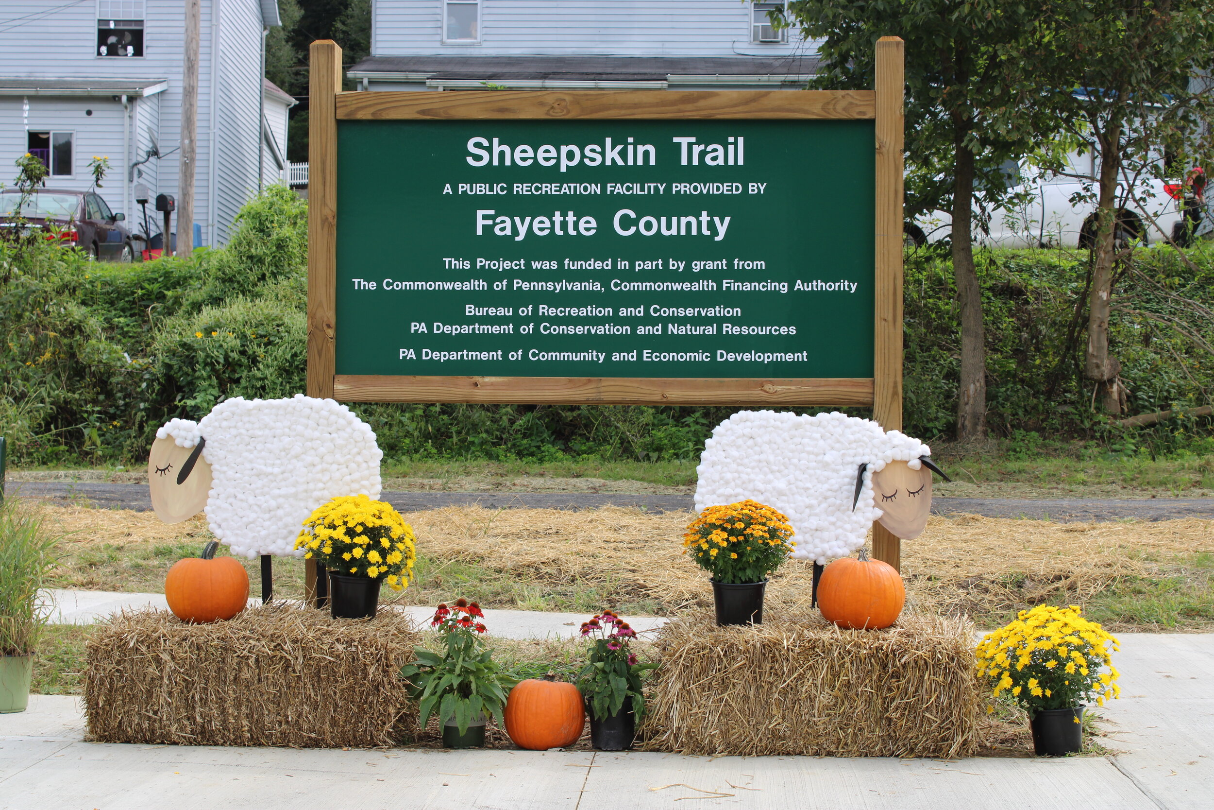
TRAIL SEGMENTS
Find information and maps below about each section of the Sheepskin Trail.
**Note: The map(s) below shows close approximations of the completed and in-progress sections of the Sheepskin Trail. Please use designated trail routes and be respectful of private property that is adjacent to the trail.**
In the map below, the following items are shown:
White: Fayette County, PA
Orange: Sheepskin Trail - finished sections
Yellow: Sheepskin Trail - sections under construction (for everyone’s safety, please do not use these sections)
Blue: The Great Allegheny Passage
Light green: The C&O Canal Towpath
The trail sections below include videos created by a local blog, Adventures with Kelly. These are great examples of the available activities and sights along each section and within the surrounding communities.
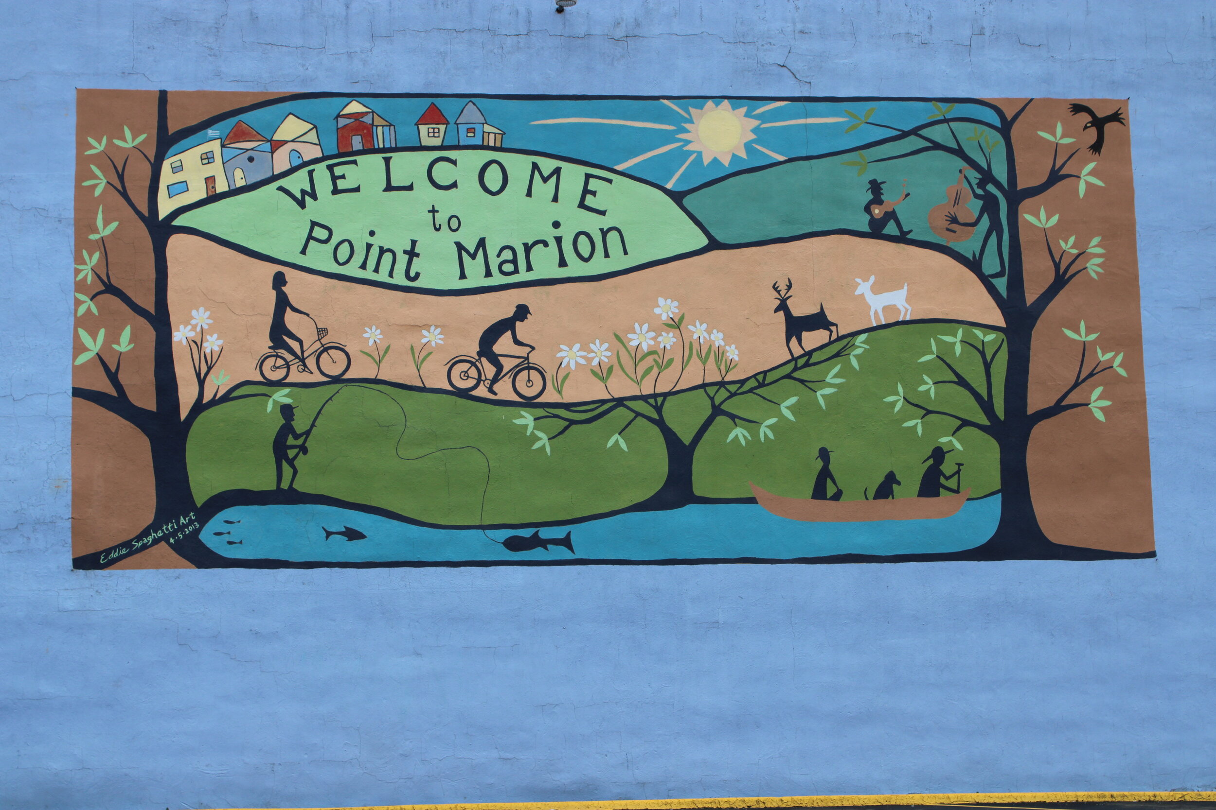
WV-to-Point Marion SectioN
The WV-to-Point Marion section (crushed and compacted gravel) is the most recently completed section of the Sheepskin Trail. It is 1.7 miles long and starts at the West Virginia/Pennsylvania border where it connects with the Mon River Trail - North and the rest of the extensive Mon River Trails Conservancy Rails-to-Trails system in north-central West Virginia. From the border, it travels north along the Monongahela River, past the Point Marion ball field, and parallels Railroad Street into the heart of Point Marion. This section ends at the 119 bridge that crosses the Cheat River.
Find out more about the WV-to-Point Marion section here: Sheepskin Trail Point Marion, PA – Family Walk.
Nilan road/Cheat river section
The Nilan Road section is the newest portion of the Sheepskin Trail. Just north of Point Marion, PA in Springhill Township, 1.4 miles of trail travel along the path of the Cheat River towards the Lake Lynn dam. Stay tuned for more information!
South Union Township Section
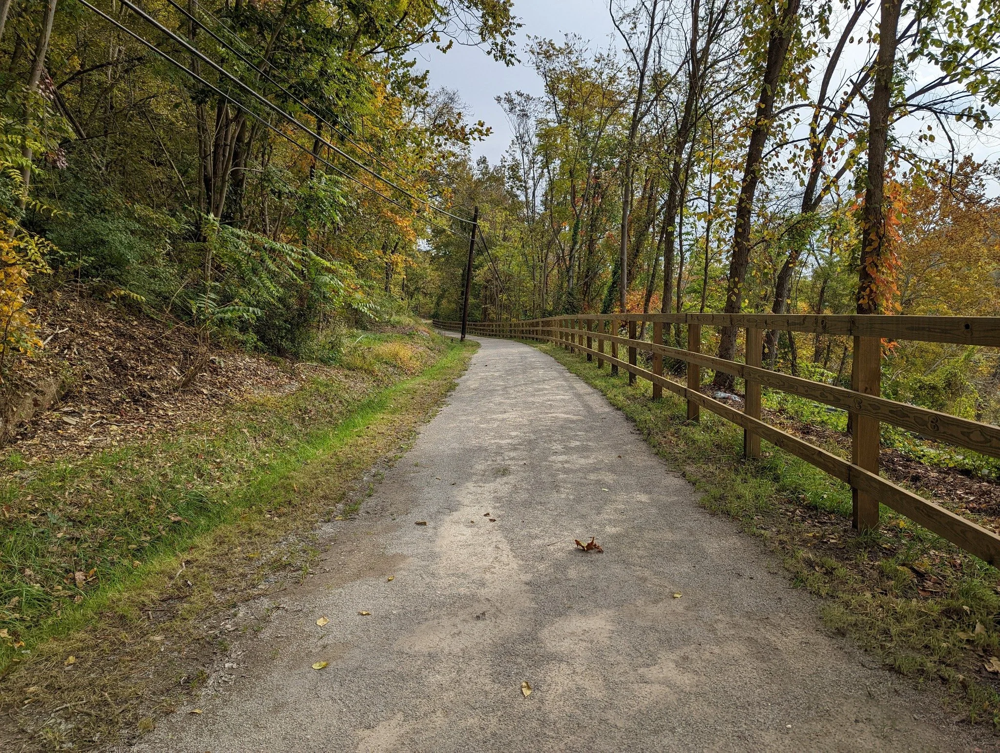
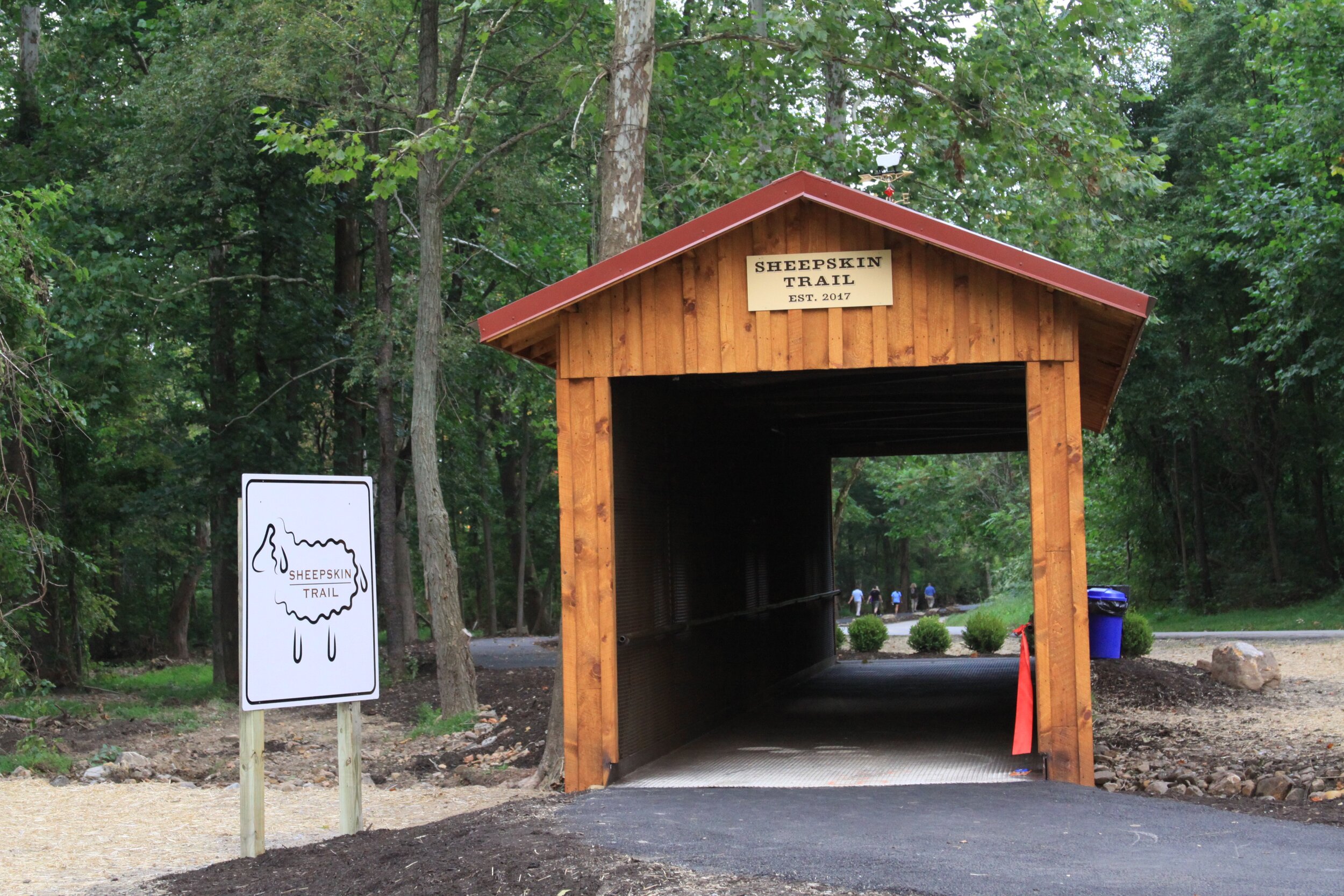
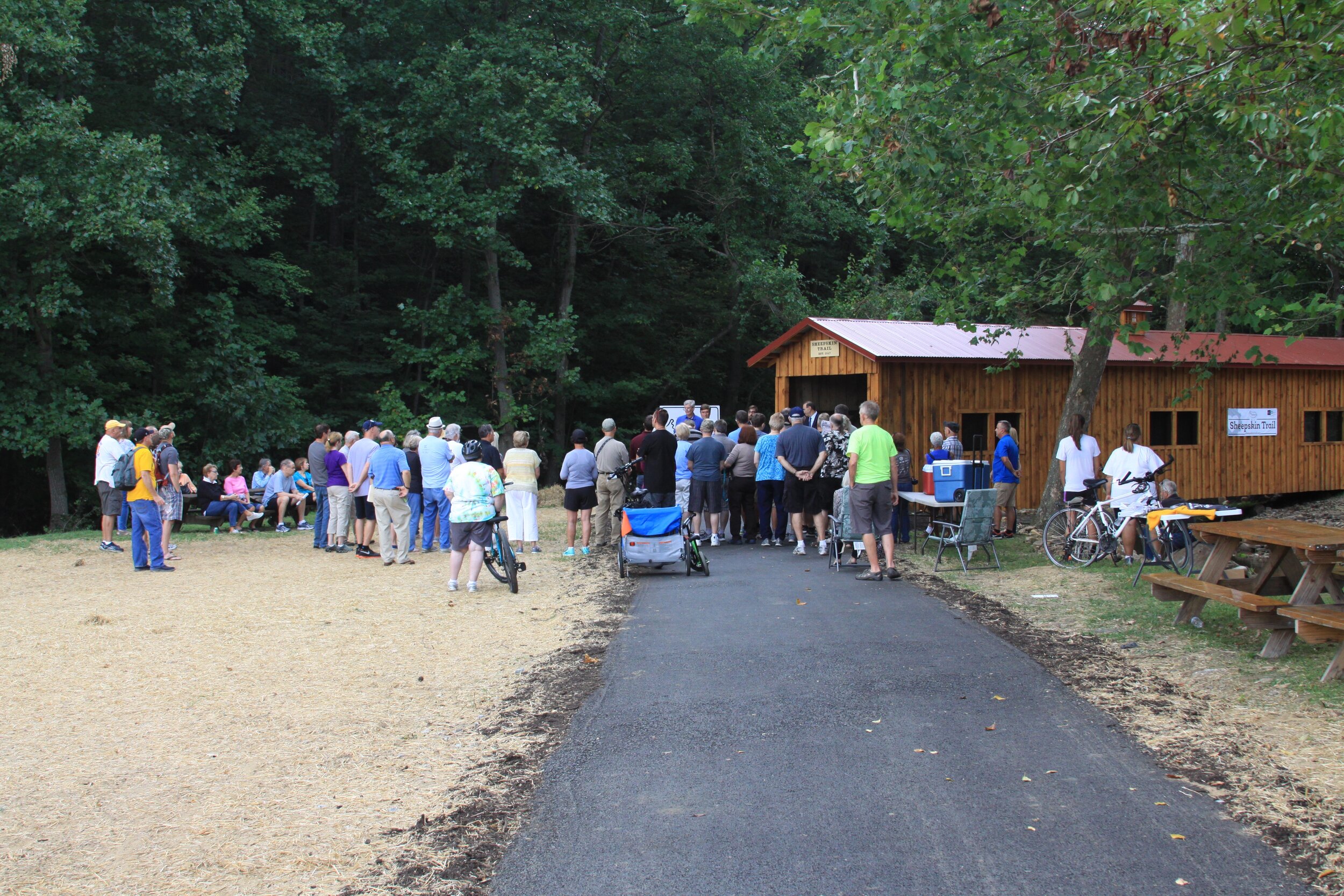
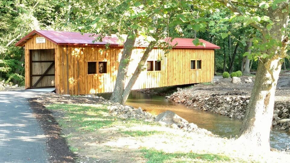
The South Union Township section (asphalt pavement) extends from Hutchinson Park to Pennsylvania Avenue. Along the way, the Sheepskin crosses several roads: Stadium Drive, Redstone Furnace Road, Township Drive near the South Union Township Building and Recreation Center, Barton Row, and Barton Mill Road. At the edge of Hutchinson Park, this section of the Sheepskin has a covered bridge that is constructed from a reclaimed interstate pedestrian bridge (a great spot for pictures!). Once you reach the intersection of Barton Row and Cinder Road, you will find yourself at the Tails on the Trail dog park. This section of the trail currently ends behind a future South Union recreational facility along Pennsylvania Avenue.
Find out more about the South Union Township section here: Sheepskin Trail South Union Township Uniontown, PA.
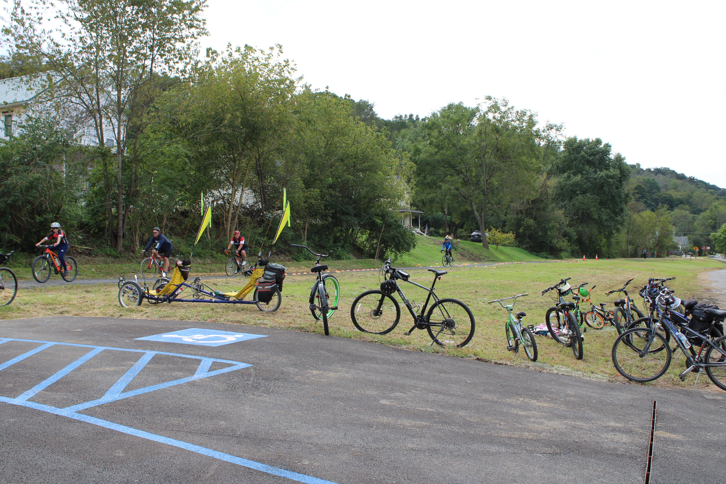
This section of the trail also has two locations to rent bikeshare bikes: one in Hutchinson Park and another behind the township recreational building on Township Drive. The video below briefly describes the process for renting one of these bikes.
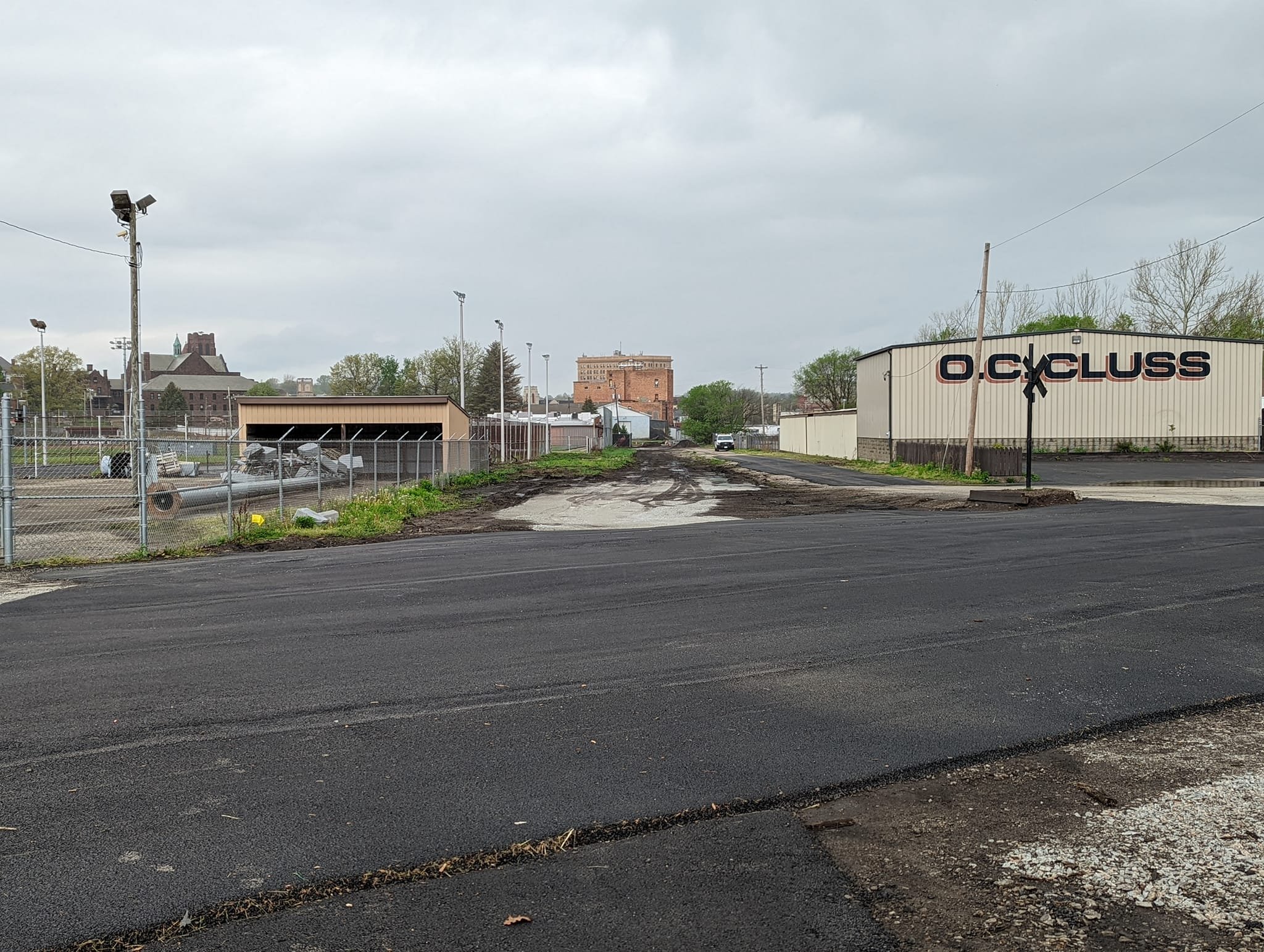
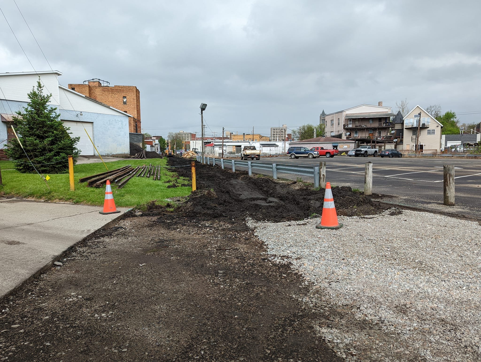
Uniontown Section - Phase 1
The City of Uniontown has begun construction of the first phase of their section of the Sheepskin Trail (see map above). This phase begins at the boundary between the city and South Union Township at Pennsylvania Avenue. After passing Bailey Park, the trail will cross Dunbar Street and end at Fayette Street. Phase 2 will continue into downtown and towards North Union Township.
For your safety and for the safety of those hard at work, please do not utilize this section of trail at this time. Thank you!
During the spring semester of 2022, a cohort of graduate students from Carnegie Mellon University’s Heinz College prepared a study and set of policy recommendations centered around the Sheepskin Trail titled "Filling the Gap - Trail Based Economic Development Findings and Recommendations for the City of Uniontown". You can read their final report here.
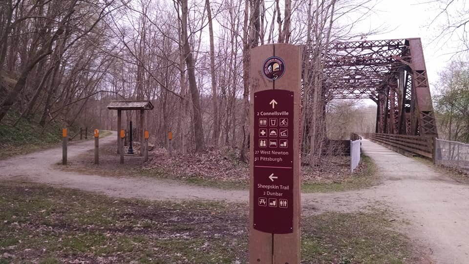
Dunbar-to-GAP Section
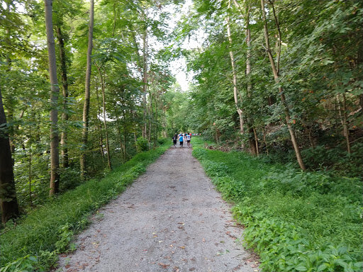
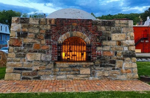
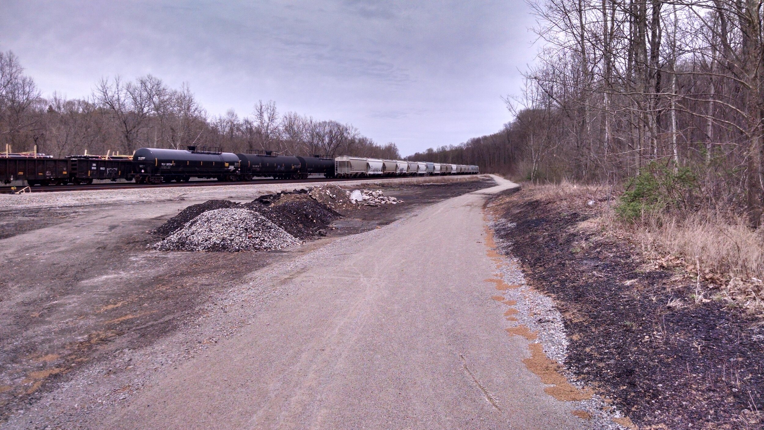
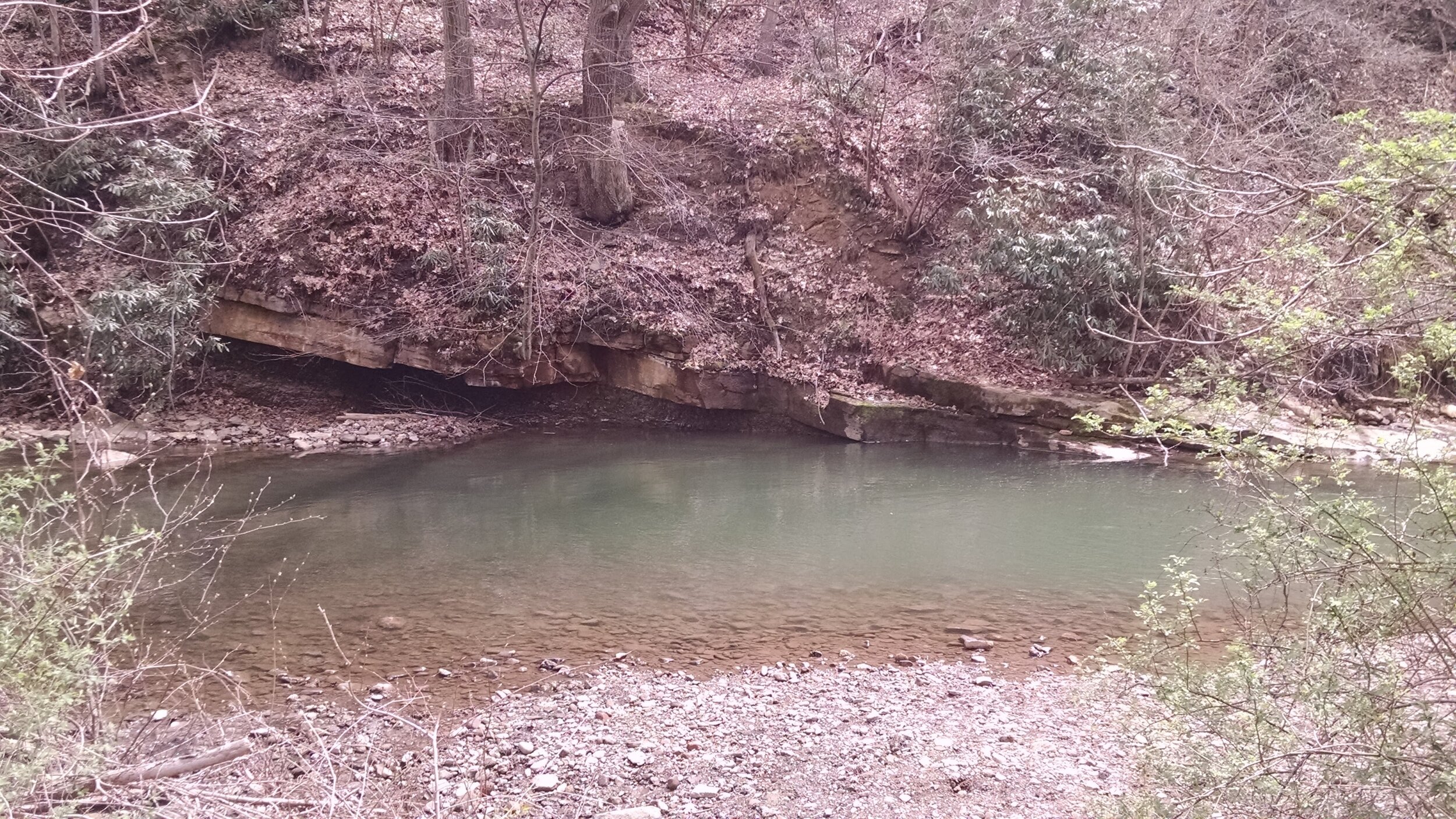
The Dunbar-to-GAP (Great Allegheny Passage) section (crushed and compacted gravel) begins in the heart of Dunbar, PA, next to the Dunbar Historical Society on Bridge Street. Heading north, you will first pass the Dunbar Volunteer Fire Department and Dunbar Ballfield. The Sheepskin then parallels and crosses the renowned trout fishery, Dunbar Creek. Eventually reaching a fork in the trail, the spur trail on the left will take you to a set of restored coke ovens. Continuing rightward along the Sheepskin, you’ll cross Dunbar Creek once more and eventually reach the Bowest Rail Yard (for yours and the safety of others, please do not leave the trail). Soon after the rail yard, the Sheepskin meets up with the GAP—a left turn will take you to Connellsville, PA and a right turn will take you along the Youghiogheny River to Ohiopyle, PA.
Find out more about the Dunbar-to-GAP section here: Sheepskin Trail Dunbar, PA – Family Bike Ride
Want to see more sections?
As you can see, there are many more miles of the Sheepskin Trail left to build. Find out what you can do to take action and help!